Utah’s first choice in Aerial Data acquisition
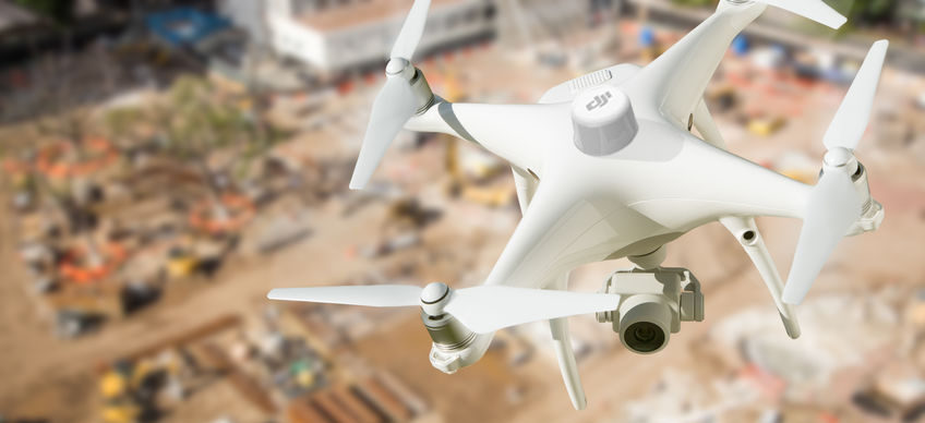
Utilizing the most advanced RTK Enabled UAV’s in the industry
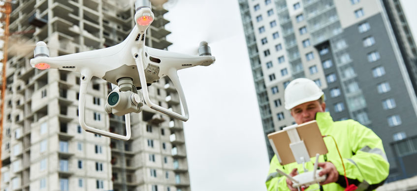
FAA Part 107 Licensed Pilot
Better Data = Better Decisions
3d Geographic Mapping / Orthorectified Images / Volume Calculations / Digital Terrain / Digital Surface Models and Much More


